
RPAS, Mapping & Field Technology Services
Practical aerial data and drone services for industry, landholders, government and consultants across North Queensland.
Local Knowledge. Real Capability.
We work with you to define the scope, site requirements and deliverables for your project, from one-off imagery to ongoing aerial support.
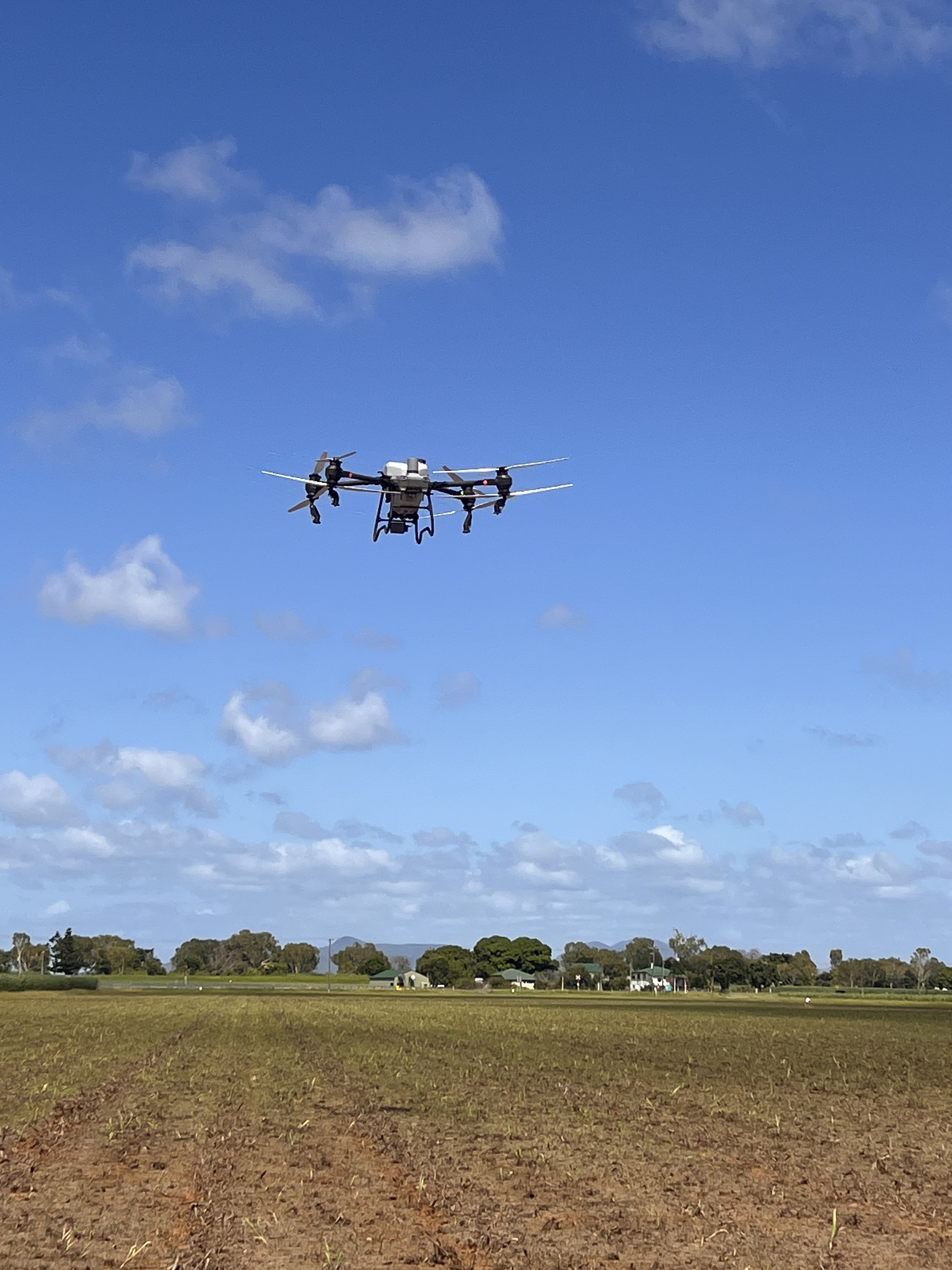
Aerial imagery & mapping
High-resolution imagery, mapping and aerial data capture.
Thermal imaging
Thermal imagery to support asset inspections and maintenance planning.
Infrastructure & asset inspection
Aerial access to assets and hard-to-reach areas.
Environmental & vegetation survey
Aerial data to support land management, conservation and environmental teams.
Agricultural data capture
Crop, pasture and land imagery to support farm decisions, alongside agricultural spraying, seeding and spreading services.
Project progress monitoring
Repeat imagery and visual records to keep project teams informed.
Specialist RPAS subcontracting
Aerial support for industry, government and consultants.