
Environmental & Agricultural Data Capture
See changes on your land. Aerial imagery for farms and land management across the Whitsundays, Mackay and Isaac.
Practical information from above
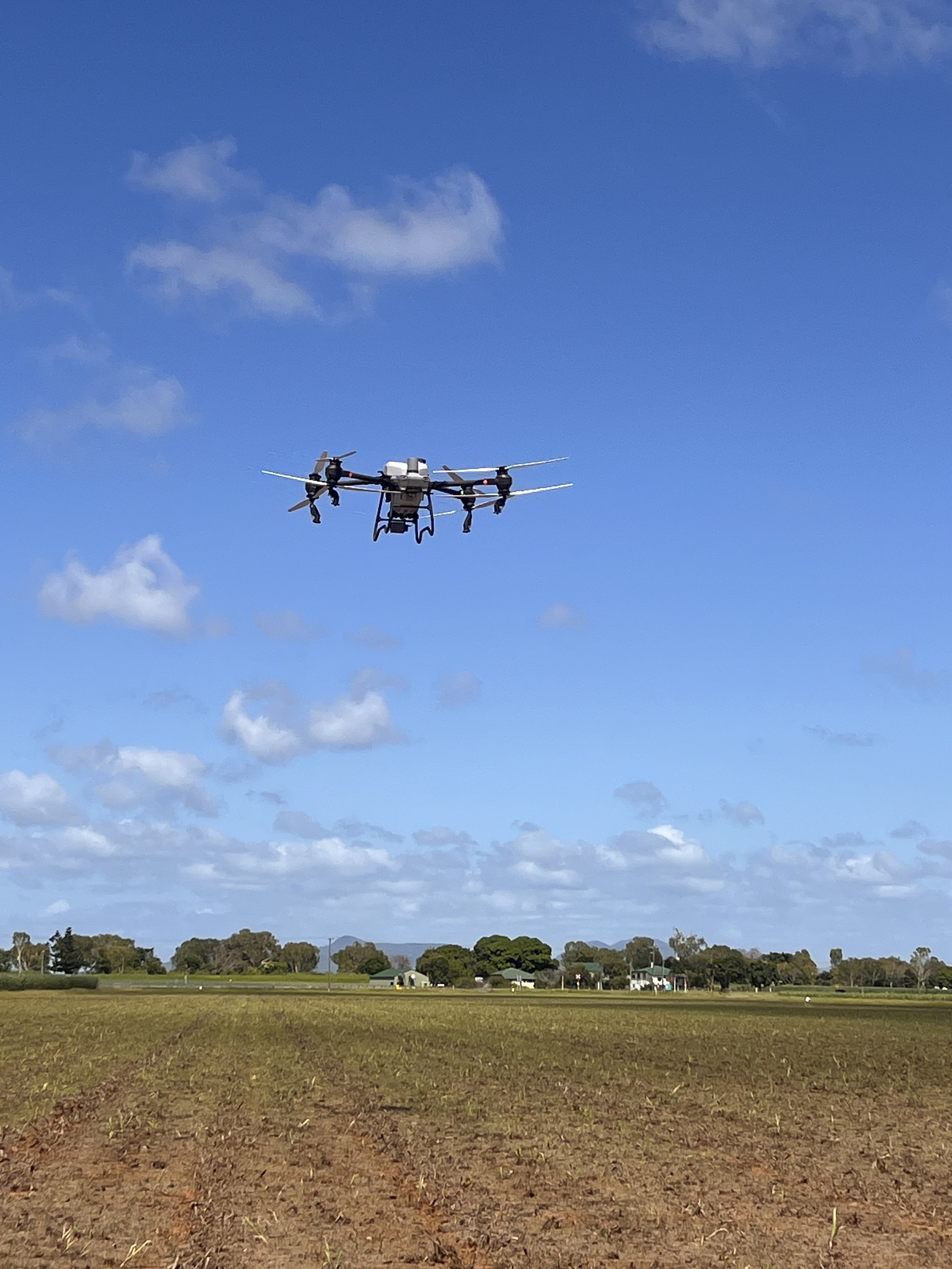
We capture crop, pasture, vegetation and land imagery to help your team understand site conditions and build a visual record over time.
WHO IT HELPS
Farmers, landholders, environmental consultants and land management teams who need a view of vegetation, access or changing site conditions.
WHAT YOU RECEIVE
Agreed aerial photographs and data capture of the nominated area. Repeat capture can support comparisons over time. Coverage, timing and file formats are agreed in your quote.
EXAMPLE APPLICATION
A Whitsundays landholder wants to document vegetation before and after rehabilitation works. Elev8 captures agreed views on each visit so the client can compare the visual record.
LOCAL COVERAGE
Based in the Whitsundays, supporting farm and land management projects across Mackay and Isaac.
REQUEST A QUOTE
Tell us the property location, area, information you need and whether repeat visits are required.